Vestmannaeyjar Islands

The Vestmannaeyjar Islands are a group of small islands located nearby the coast from Eyvindarholt Hill House and Cabins. The harbour is only about 15-minute drive away and it takes the ferry only about 30 minutes to sail across to the Vestmannaeyjar.
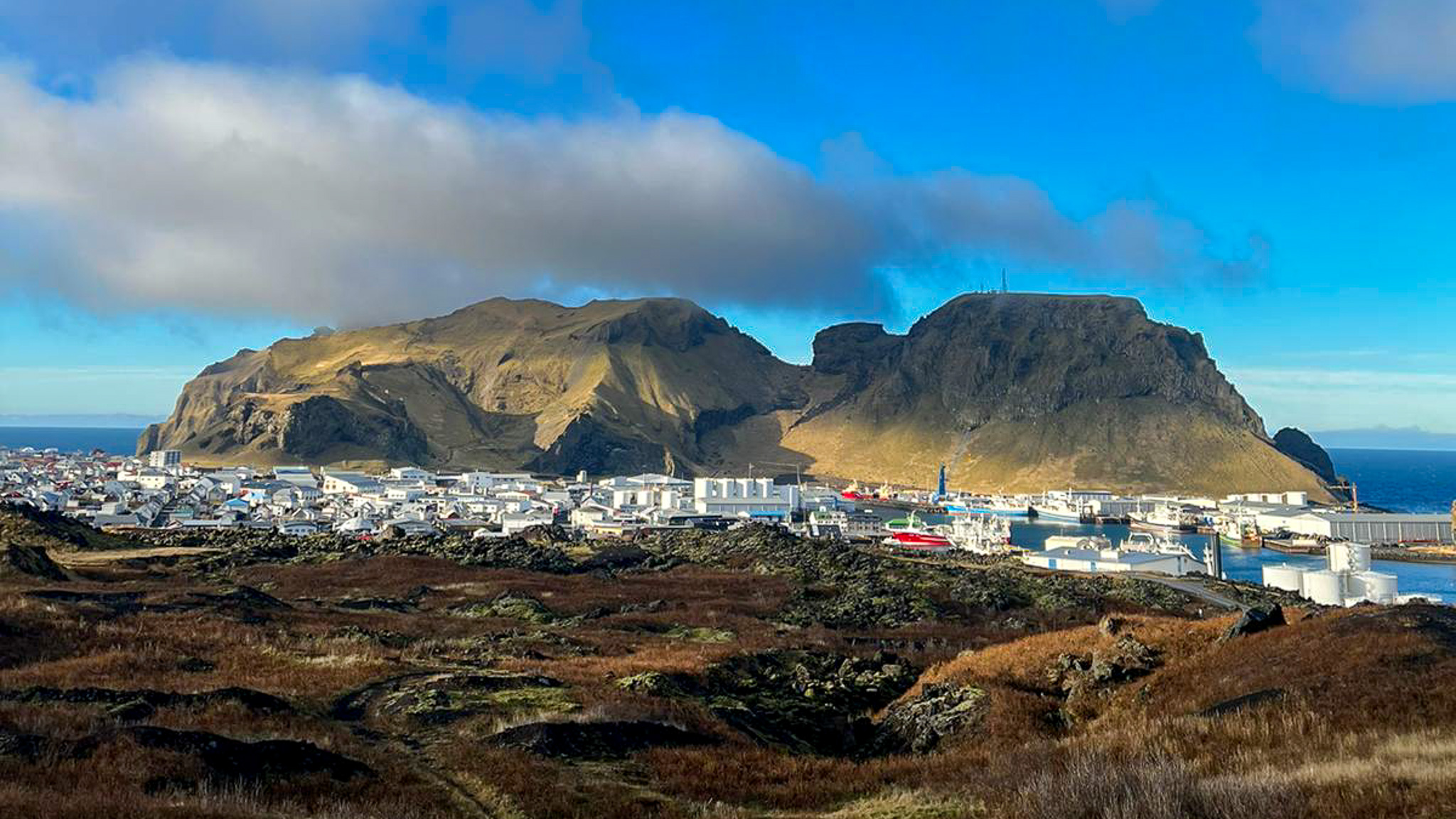
The Heimaey island is the biggest island around Iceland and a part of the Vestmannaeyjar islands. One of the biggest fishing towns in Iceland is located on Heimaey with a population of around 4500 people.
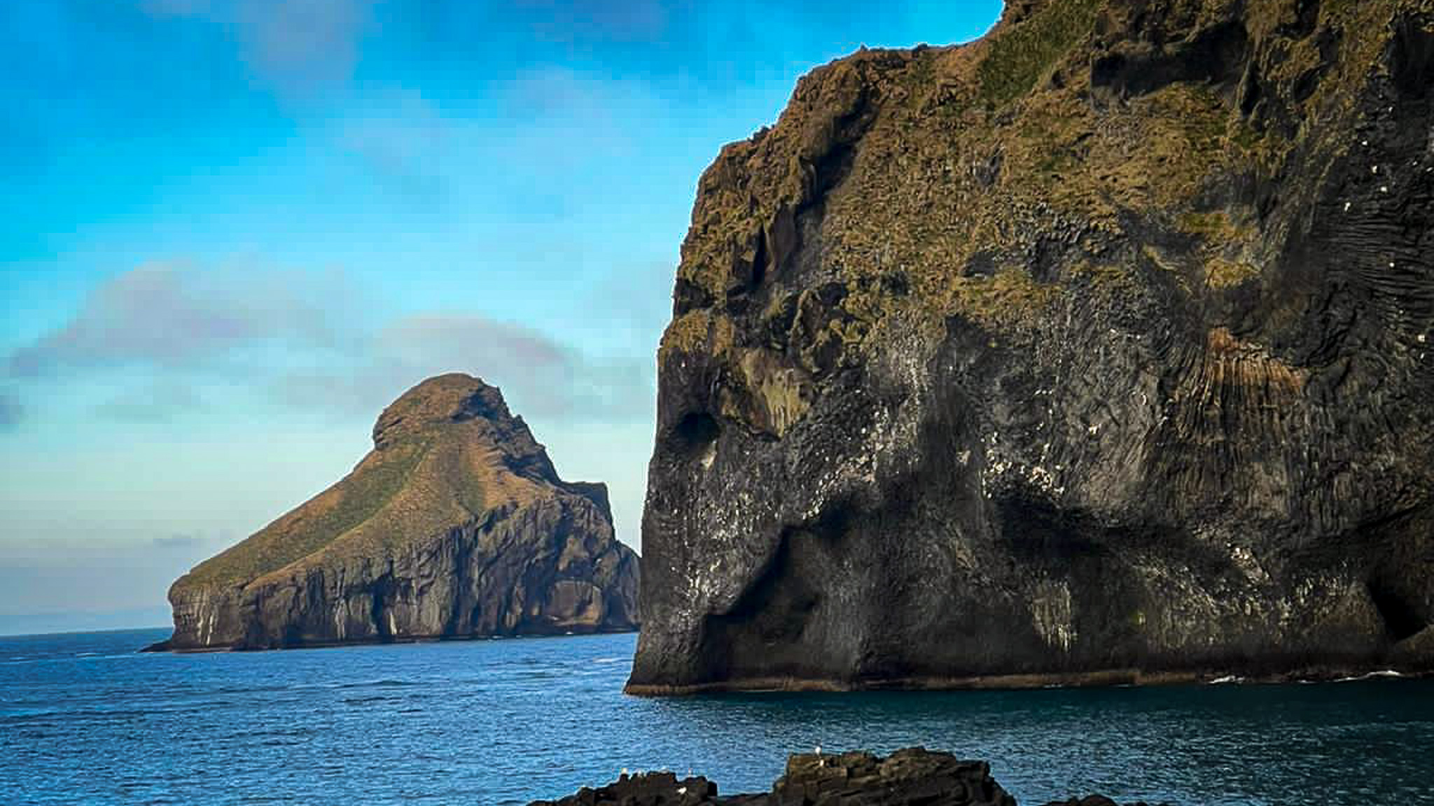
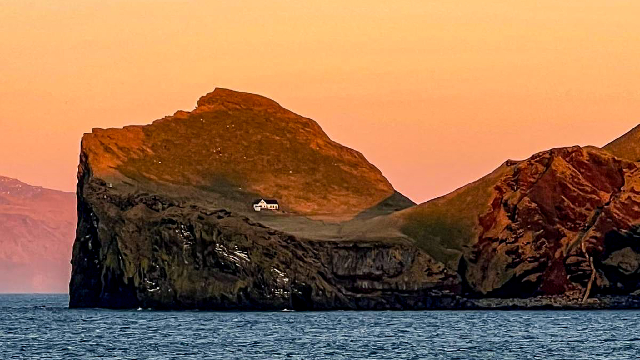
The Islands are beautiful and something everyone should visit during summer. There is rich birdlife in the islands with thousands of seabirds and the perfect place to see the Puffin.
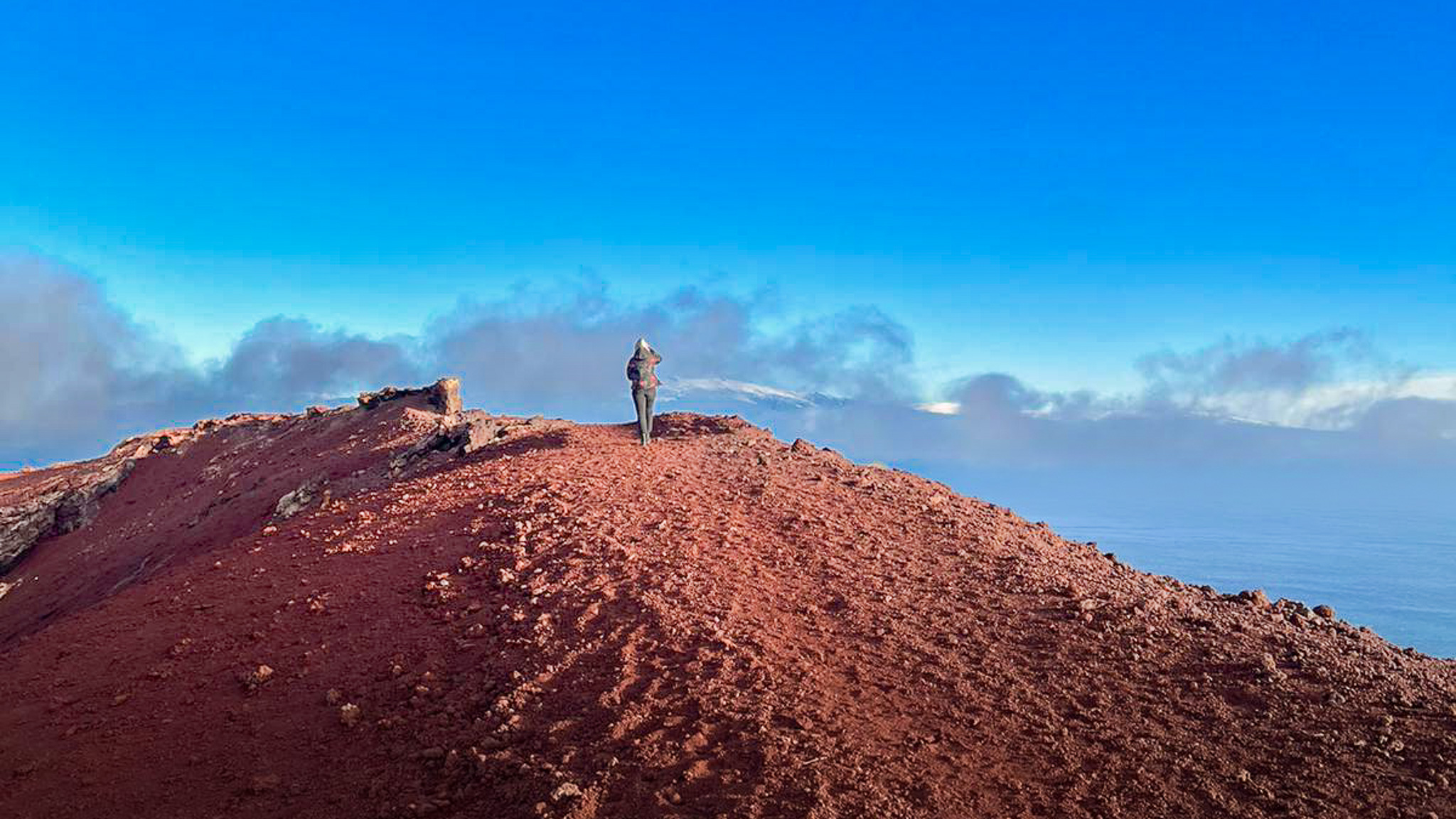
The island is also a volcano, and there are two volcanoes on the main island Heimaey. The old one called Helgafell and the new one called Eldfell, that one formed during a big volcanic eruption in 1973 where over 400 houses went under lava and all the people living on the island had to leave in a hurry during a cold winter night.
The island got about 20 per cent bigger after the eruption finished and people start to return to the island shortly after the volcanic eruption was over. It had a lot of effect on the people and the island. Today it is a perfect place to learn about volcanoes and the effect they can have if you live close by. We recommend a visit to Eldheimar expedition where you can see and learn about this volcanic eruption. You should also visit other museums on the Island to get a good sense of history and fishing and wildlife.
You can find good restaurants on the island and you should also check out some boat tours while you are there.
It is perfect to go across with the ferry in the morning and spend the day exploring the island, before returning back to Eyvincaholt Hill House and Cabins in the evening.
Directions from Eyvindarholt Hill House and Cabins
You take the main road west from Eyvindarholt Hill House and Cabins, then you turn left on to Landeyjahafnarvegur, number 254 the drive is only about 15 minutes or 20 kilometres. At the harbour you take the ferry across to the Vestmannaeyjar it takes the ferry about 30 minutes to sail across. You can take your car with but then you normally have to book for the car in advance. I recommend you leave the car and explore the island on foot.
Vestmannaeyjar Location: GPS: 63° 26.495' -20° 16.516'
Harbour Location Map:
Pictures from Vestmannaeyjar